
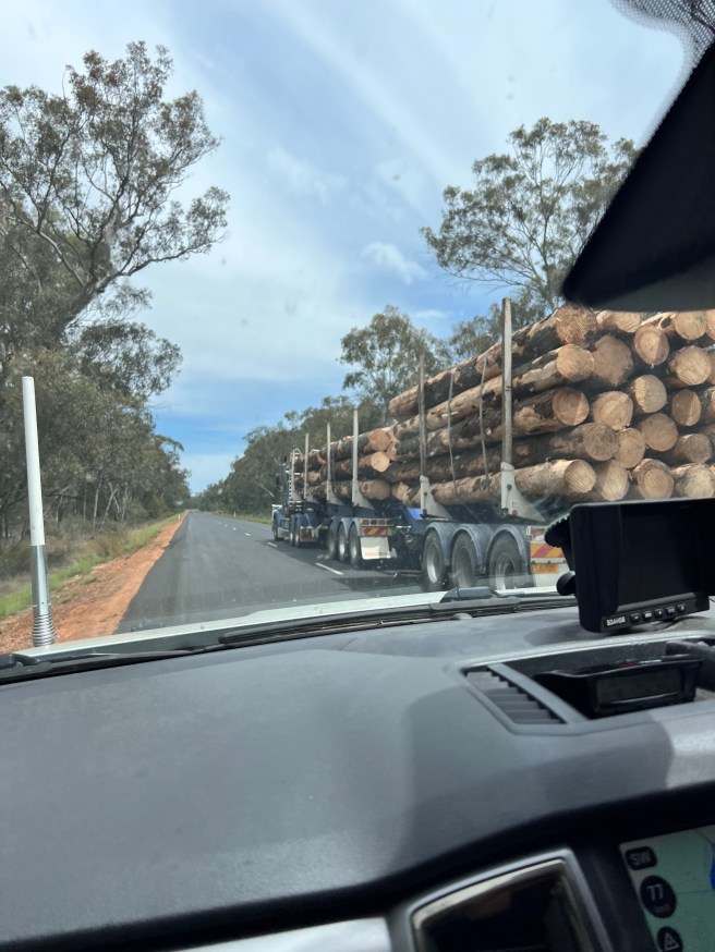
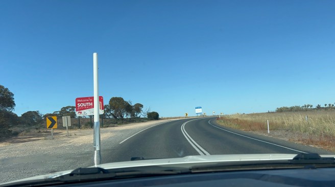
We are now on the final stretch of this journey and heading for Dubbo. Google maps took us on a wonderful journey as both Warri’s Creek and Gap Roads were closed. We were bypassed onto Pillaway Road, which then became Bulunbulun Road. We continued onto Breeza to get onto Coonabarabran Road. This route took us onto Black Stump Way to meet up with the Golden Highway. Finally, we headed down to Dubbo.
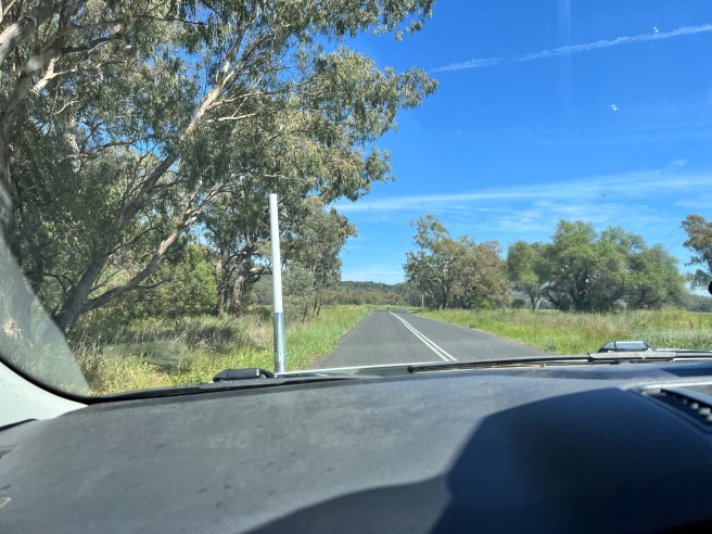
We saw some beautiful countryside and lovely country town in north eastern NSW.
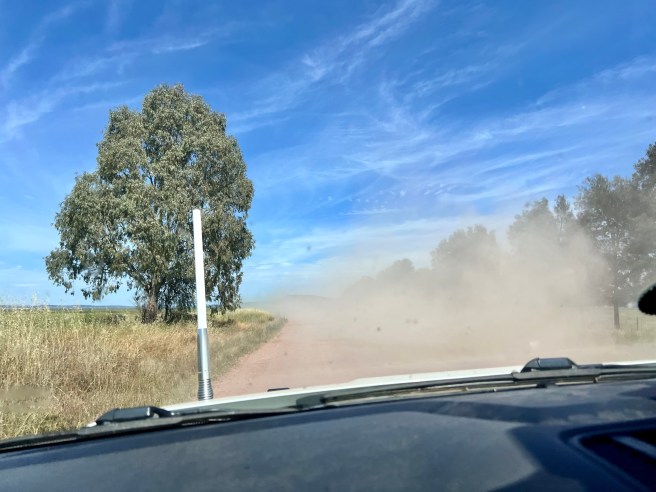
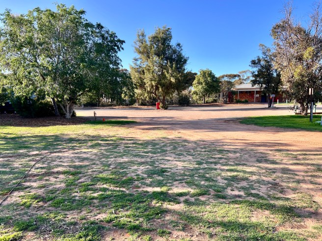
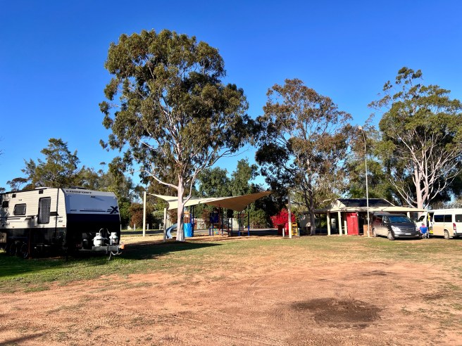
Bulunbulun Road onto Breeza was a dirt road but a well-maintained road, all the other roads were sealed and in good condition. We crossed over the Kilamaroi Highway and continued onto Premer, Dunedoo, and Dubbo where we stayed the night, at Blizzardfield Campground.
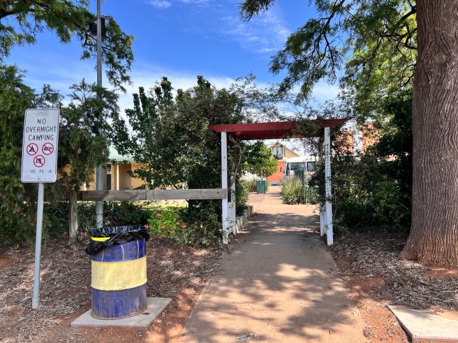
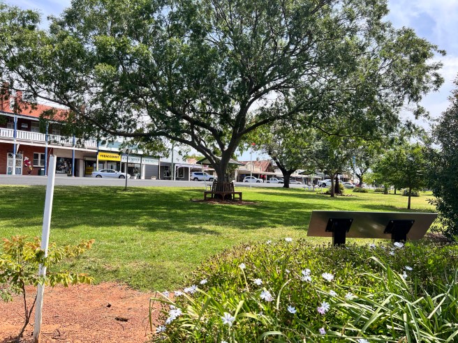
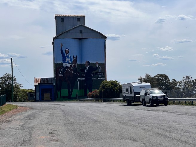
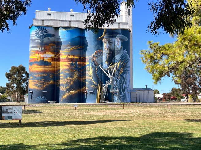
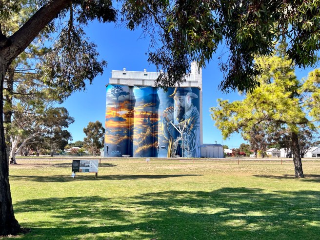
Dunedoo
Dunedoo is located in the Warrambungle Shire of central western New South Wales. Unfortunately for us we were there on a weekend and nothing was open. We were very disappointed that the bakery was closed. We look forward to visiting again when everything is open.
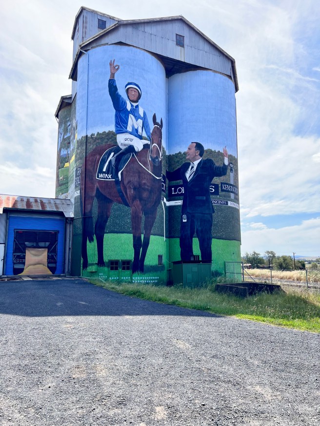
We did enjoy looking at the silo art. It depicts local jockey Hugh Bowman performing his winning gesture, ‘She’s Apples’. The mighty Winx and trainer Chris Waller are also featured.
Dubbo to Hay
We set off early and took a break at the Lions Park in Forbes. It is such a great park with all the facilities you need. There is plenty of room for caravans. This park is adjacent to the free camping area making it very convenient.
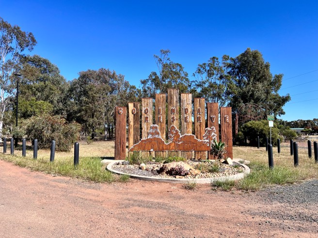
Cooinda Park in Wyalong is always a great place for a rest and some lunch. It’s also an opportunity to stretch your legs around the lake. Once again, all facilities are provided and plenty of room for caravans. Another free camping area supplied by the shire.
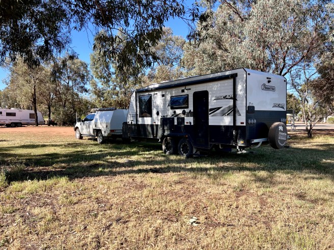
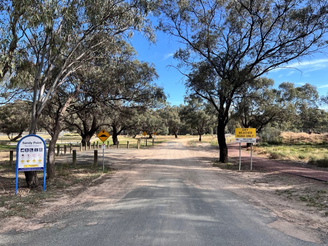
Sandy Point Reserve, Hay
Duration: 1 night
Location: Brunker Street Hay, NSW
Distance Travelled: 513km from Dubbo
Cost: Free – 72 hour limit
Visited: October 2024
Facilities: Flushing toilets, Non Drinking Water, BBQ’s, Bins, Tables, Open fire pits, Swimming, Boat Ramp.
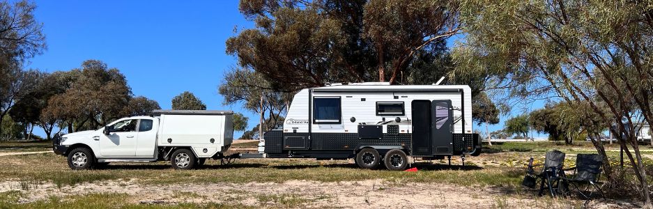
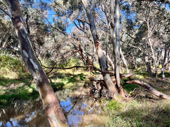
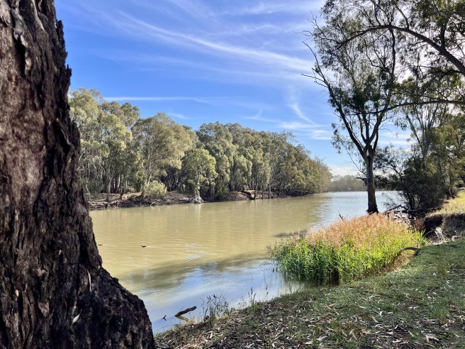
This camp site has it all, with the Murrumbidgee River, silo art and a short walk into town. It is a large area with many spots under trees for shade. You can also find areas away from the trees for safety and full sun for the solar panels. There are also flushing toilets. It is a very well maintained area for free camping managed by the Hay Shire Council. If you don’t have showering facilities you can get a shower at the Information Centre for $3.00.
Hay Water Tower Art
This is a tribute to Servicemen and Women from Hay who contributed to the World Wars. The northern tower depicts Lieut. Lorna Whyte born in 1915, who joined in 1941 as a nurse. North west top image is Pte. Victor George Murray born 1909 and a member of the Ngemba tribal group. He was a very experienced mechanic. Bottom north west image depicts Cpl. Clifford Leslie Farlow born in 1922. He sailed out of Fremantle to a destination unknown on the Queen Mary in 1941. The image on the eastern side of the North tower, depicts Pts. William George Cannon born 1919.he enlisted in 1939. The image on the southern tower depicts Pte. Norman Charles Flack born 1920. He was also a destination unknown embarking from Sydney on the Queen Mary in 1941.
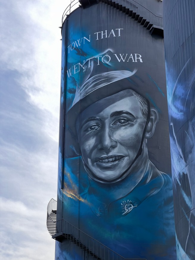
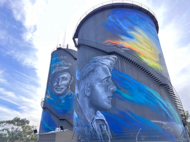
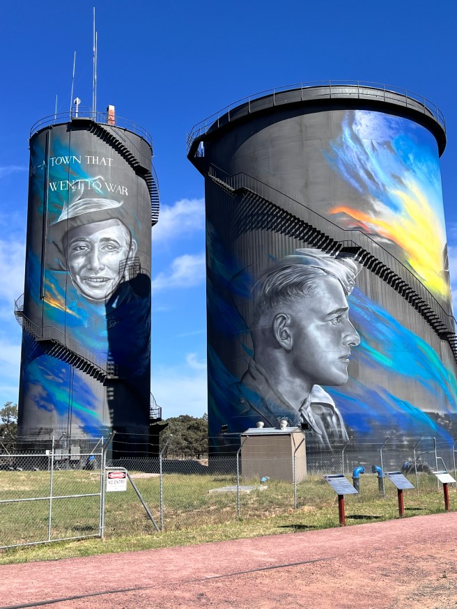
We give thanks to these brave men and women.
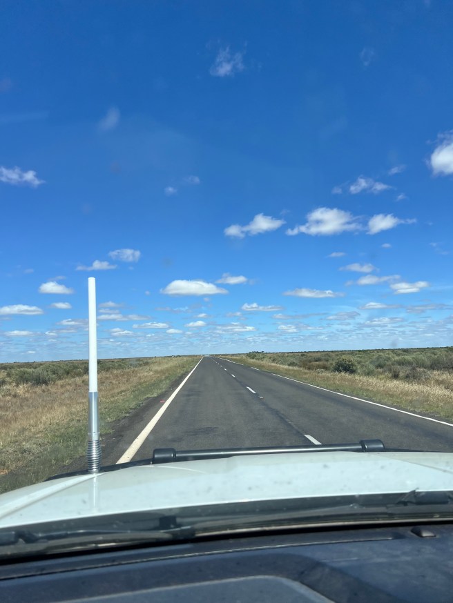
After leaving Hay and until Narrandera there is pretty much nothing. It is called the Hay Plain and was once affectionately called One-Tree Plain. It is also known as the flattest place in the Southern Hemisphere. Being relatively flat and only rising about 17 meters from highest to lowest point.
Walpeup Wayside Stop
This is a small site in a circle, the park has BBQ’s, bins and a playground. There are not many sites and will fill up early. There are flushing toilets, shower and laundry plus an onsite caretaker.
Duration: 1 night
Location: 3 Cregan Street, Walpeup
Distance Travelled: 306km from Hay
Cost: $10/night includes power and untreated water
Visited: October 2024
Facilities: Power, Flushing Toilets, $3:00 showers, Laundry, BBQ’s and Picnic Tables
We found this town interesting, it is 29km west of Ouyen and is located on the Ouyen Highway. By 1920, Walepup had a population of 400. They had a general store, butcher, bank and other stores to service the community. As with this part of the country there is no reliable water. In the 1920’s, water was by channels from the Grampians. With about 17,500km of open channels, farm dams and storages were filled once a year. The water was released in the cooler, wetter months to reduce evaporation. Of course the channel system had its faults and limitations with seepage and evaporation. A long term solution was to build a pipeline from the Murray River. This pipeline opened up in 2000, and comes from Liparoo near Wemen. The water to the town is raw river water and is unsuitable for drinking for human consumption. Today, our country towns still struggle for reliable above ground water where there is naturally none.
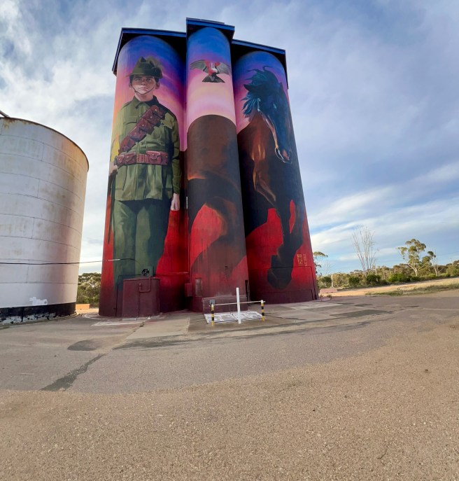
Walpeup Silo Art
The silo art was definitely worth visiting. To me this artwork was very powerful in its story telling. It was inspired by World War One Light Horseman Harold Thomas Bell, who was born in Walpeup in 1901. I looked him up on the Australian War Memorial page and was so saddened by what he endured.
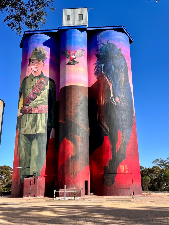
He was in the 4th Australian Light Horse Regiment. Sadly, he received gunshot wounds during the charge against Beersheba on 31 October 1917. He died of his wounds. He was only 16 years 7 months old.
Lameroo Silo Art Project
This artwork is an expression of Lameroo’s history; our pioneering farmers that paved the way with their perseverance and resilience. There is no above ground surface water in all the places from here to Lameroo. To make matters worse, they traditionally have low rainfall. The early farmers to the land had to dig by hand. They needed to find the underground water just to survive. Such determination!
Home
It is always nice to be home. As part time travellers we certainly enjoy exploring our country and enjoying the hospitality of our wonderful country towns. Reading about all the hardships endured is a way to see how lucky we are now compared to back then.
Thank you for joining along, I hope you have enjoyed our journey.
