
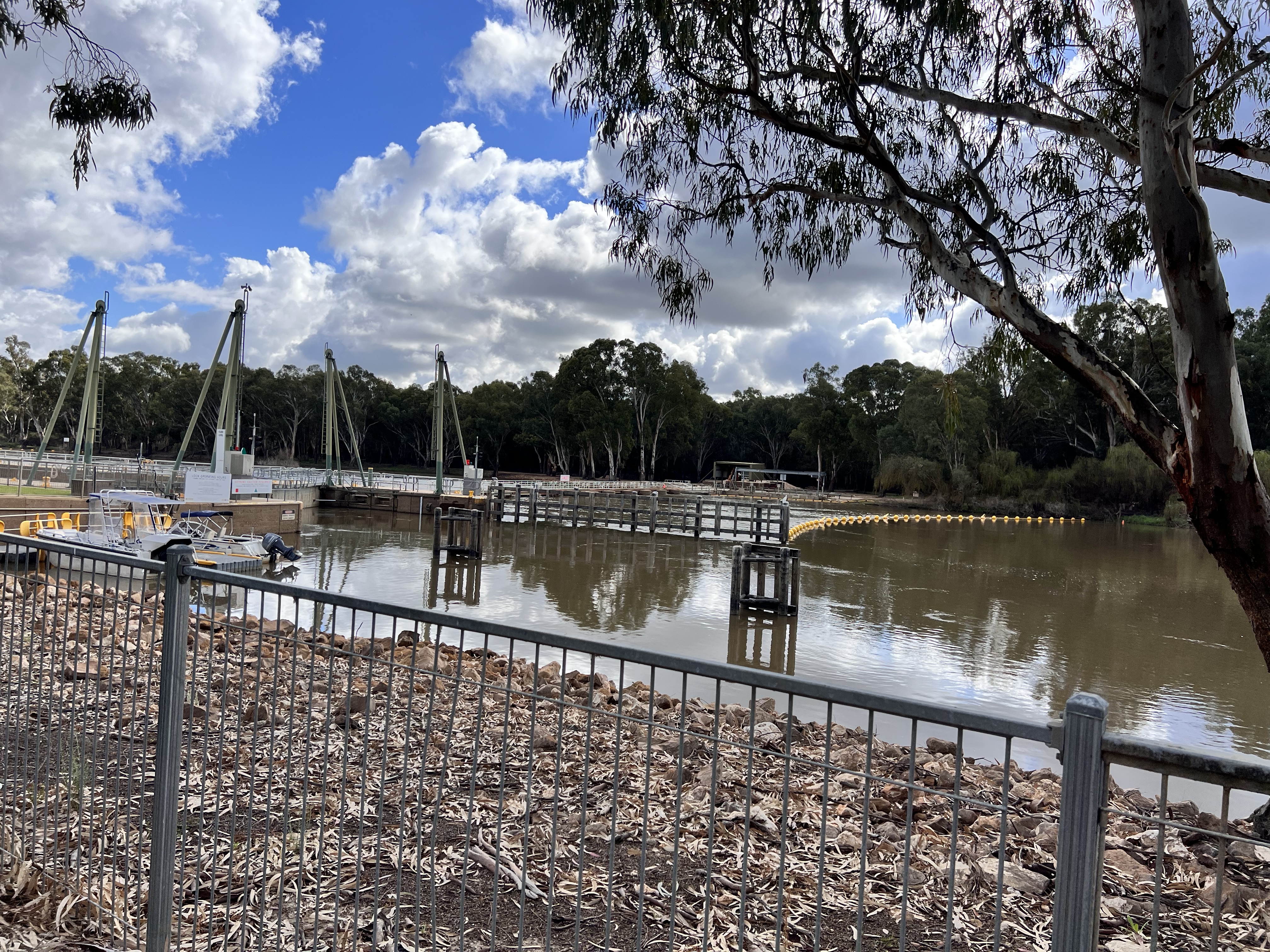
Just after the Cullulleraine Roadhouse and a few minutes along the Sturt Highway we saw a sign for Lock 9 Road and thought, let’s see where it takes us. The dirt road was in very good condition and well maintained. It was about a 10 km drive to the end of the road where we found Lock 9 and weir at Kulnine East, Victoria.
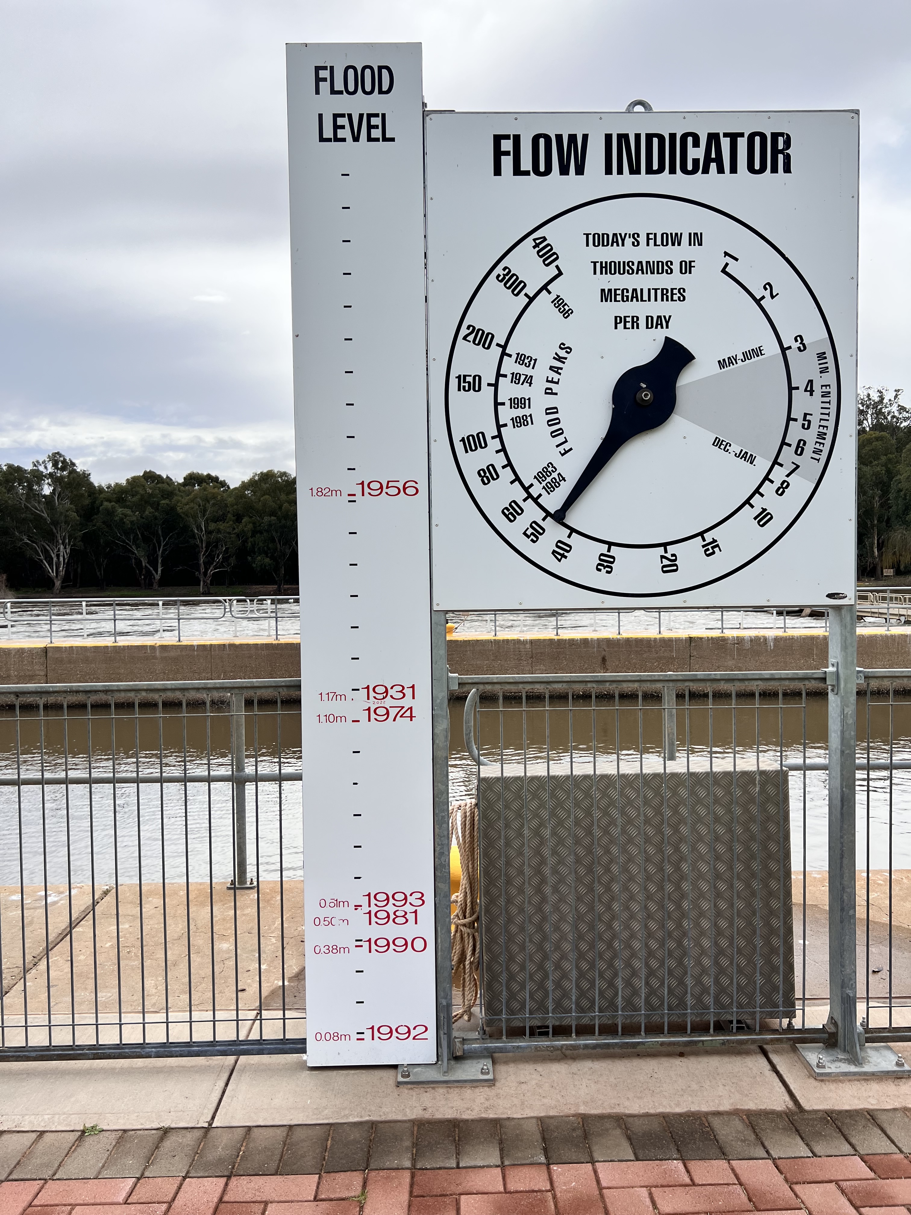
You can see on this sign where they have written 2022 flood level in between 1974 and 1931. It’s interesting how it impacted differently all along the river.

They started constructing locks and weirs in the 1920’s along the River Murray to maintain relatively stable water levels for navigation and irrigation. Paddle Steamers were commonly used as a mode of transport for farmers from around the 1850’s until about 1939. As you can see in the photo above, lock 9 was completed in 1926 and it is about 765km’s from the Murray Mouth, where the river meets the ocean, which is all part of the Great Australian Bight.

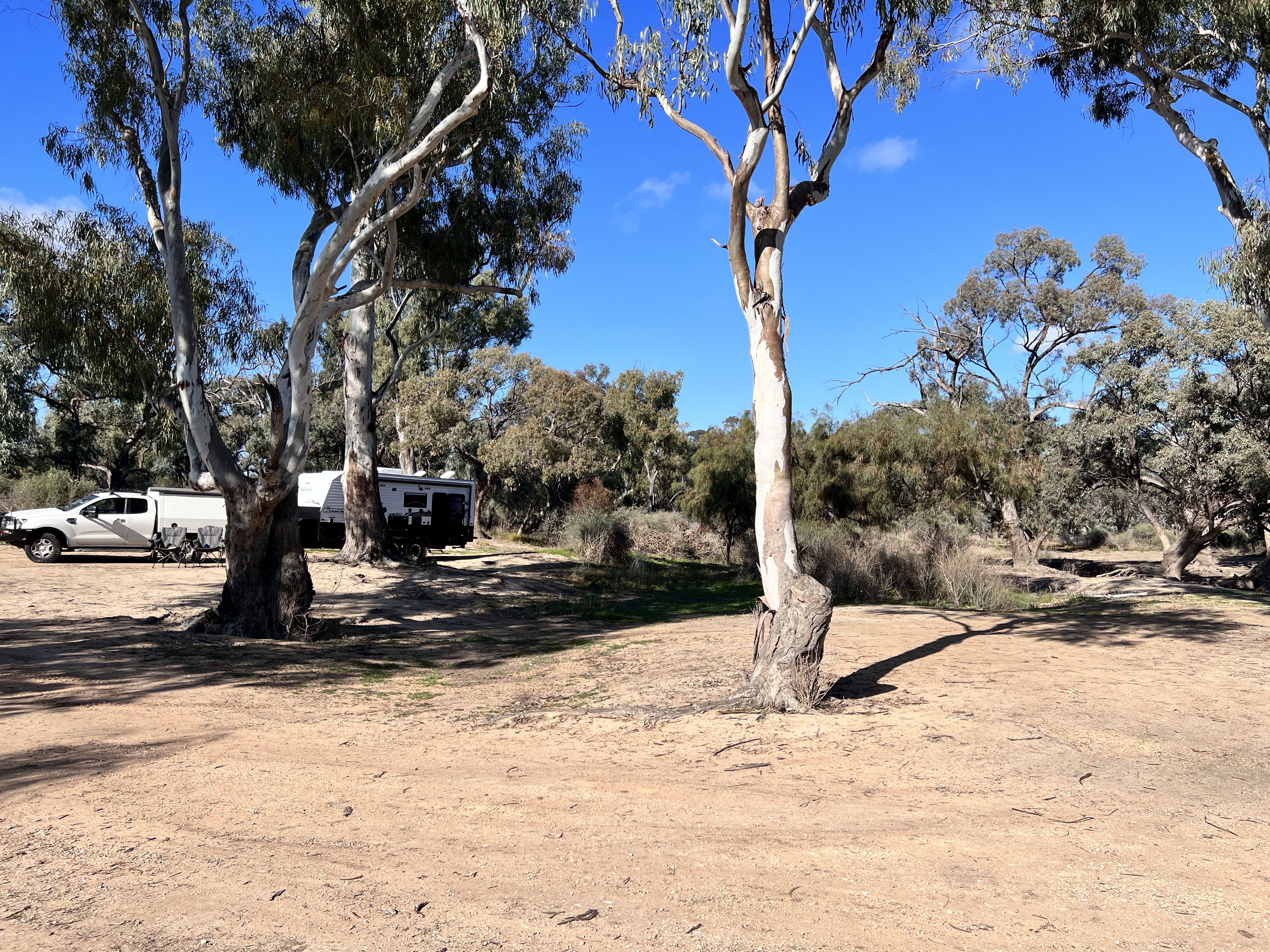
After having a look around the area we headed back to where we saw the free camping sign at the Crozier Rock Track turn off. First of all, we were a bit worried about taking the caravan in as the road ruts and potholes were huge. But we were pleasantly delighted about how well everything went and no-one was hurt in the process.

There are no facilities here but there is a gate near this campground that took you through to the public toilet block near the weir and lock.

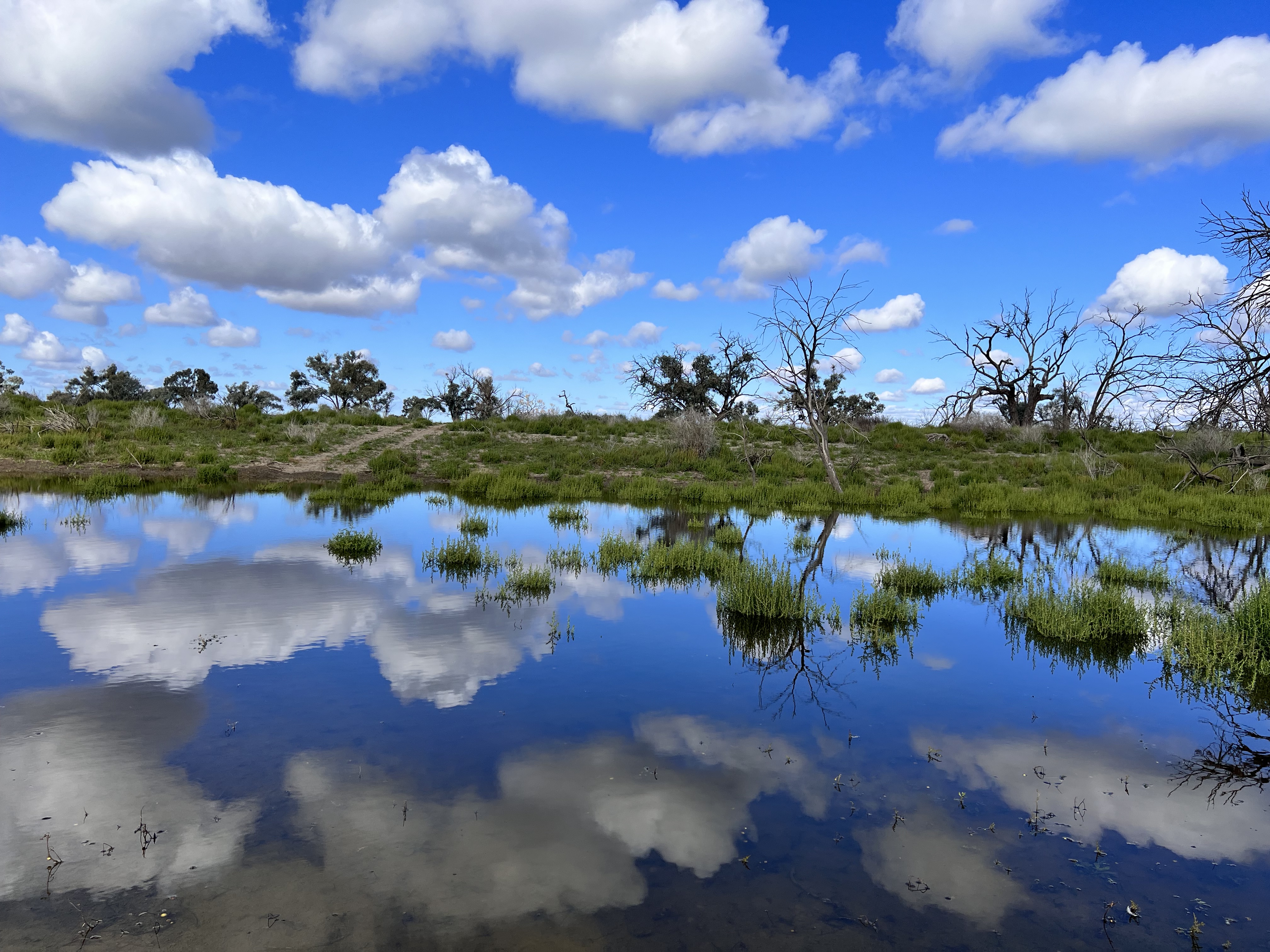
There is an anabranch starting from the camp site and of course we wanted to see where it went. After a big, long walk we managed to get to this point. You can see in this photo it is in flood and The Crozier Rock Track continues on the other side. The water was so calm and made for a beautiful photo of reflections.
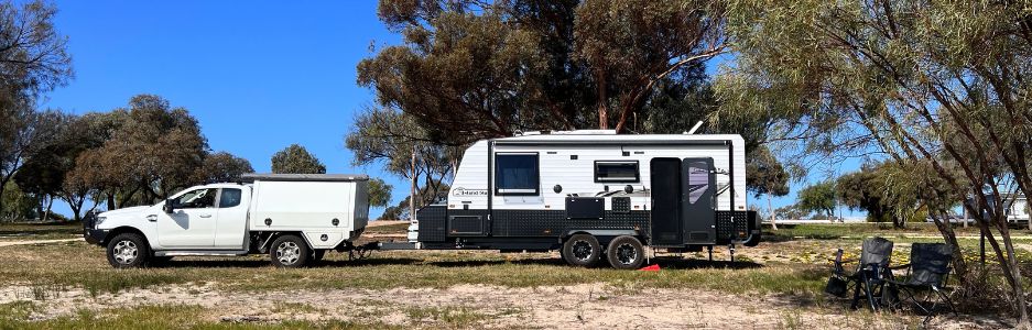
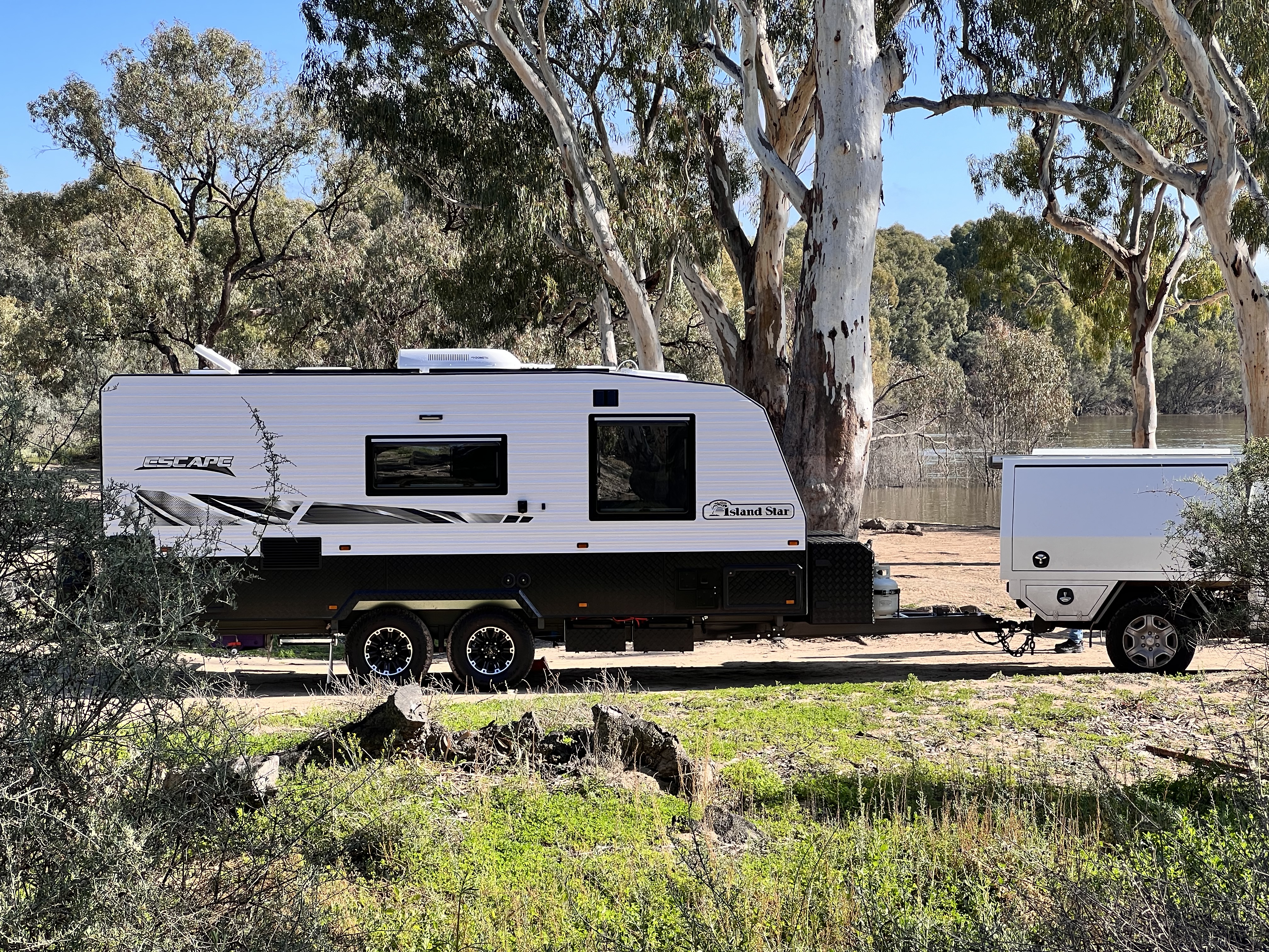
With a 4WD and self-contained camping facilities, there are many, many tracks going off everywhere with plenty of campsites to suit your requirements. As the river is currently rising some areas were flooded but all in all it was a very relaxing overnight stay.
The Murray-Sunset National Park is very much untouched and really gives you the opportunity to enjoy very basic camping facilities and allow you to get back in touch with nature. It is all free and no need to book, it is first in gets the site.
