
Time to move on from our Nieces house and we were very thankful for their hospitality. First stop on our way back down south was Mullumbimby affectionately known as Mullum. We had never been to Mullumbimby before, we really wanted to stay in or near Byron Bay. But we all know Byron Bay has changed over the years. It is not the same as it was in the 80’s and 90’s or even earlier. Byron Bay is a great place to visit. Still, we are used to a slow pace and lots of space to move. Taking the caravan to Byron Bay was not a choice for us.
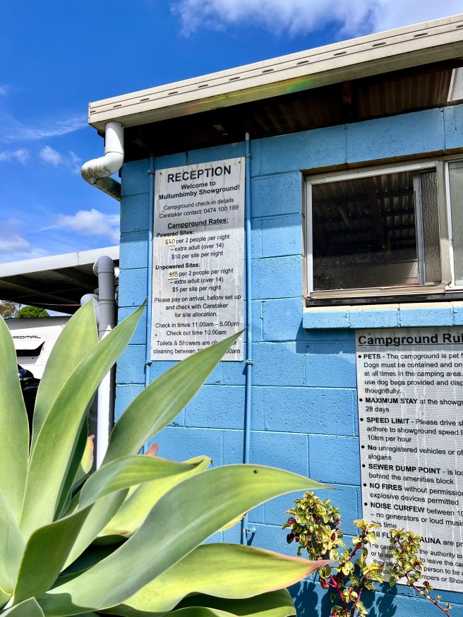
Mullumbimby Showgrounds
Duration: 2 nights
Location: 62 Main Arm Rd, Mullumbimby NSW 2484
Distance Travelled: 148KM
Cost: $35/night un-powered
Visited: October 2024
Facilities: Drinking Water, Toilets, Showers, Power Available, Bins
What a gorgeous and friendly town, the Showgrounds suited our needs perfectly. Being capable of unhitching and drive into Byron Bay was just perfect. We had a friendly and helpful greeting by the lady in the office.
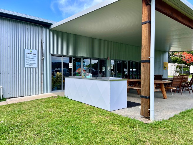
Make sure you are here for the Friday morning Mullum produce market held at the Showgrounds. I promise, you will not be disappointed with the produce or the atmosphere.
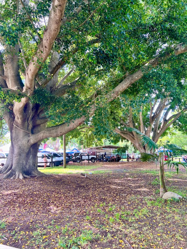
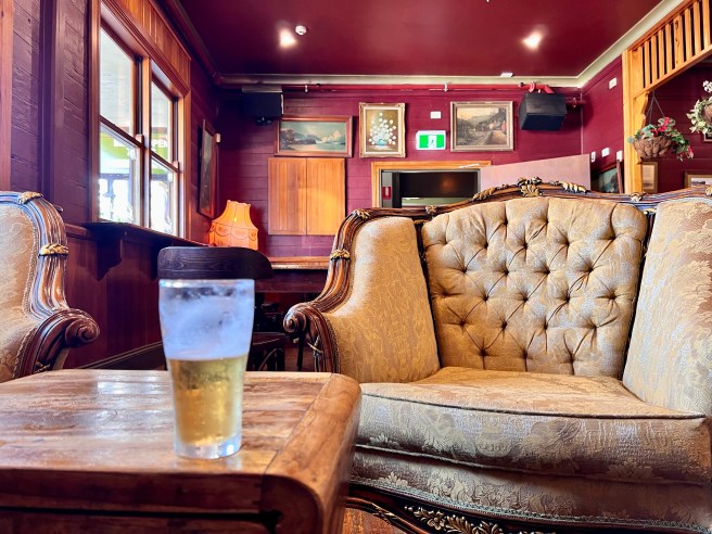
Initially booking in for one night, we ended up staying for 2. So much to see in town and the surrounding towns. Mullumbimby is definitely a place we will return to. Make sure you have a beer at the Middle Pub!
Byron Bay
Our love for camping first started back in the 1980’s. We took our kids to Byron Bay and stayed for 2 weeks camping at Clarke’s beach. Byron Bay has changed a lot since then. We retraced our steps and tried to find all the places we used to visit.
Cape Byron Lighthouse
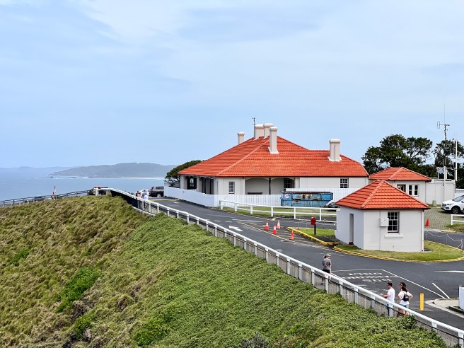
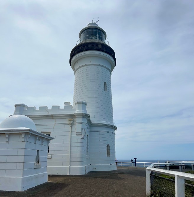
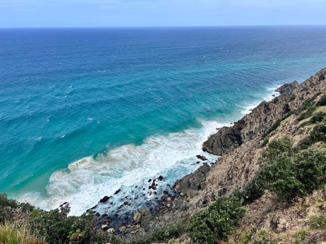
The lighthouse is on Australia’s most easterly point. It is located in the Walgun Cape Byron State Conservation Area along the north coast. You must pay a parking fee to the ranger to take your car to the top of the hill. It was built at the turn of the 19th century and stands proud on its most easterly point. Up until 1989, it was managed by lighthouse keepers. Now it is fully automated, so there are no more lighthouse keepers. The views are just amazing. The heritage buildings give great insight into those harsh times at the turn of the 19th century.
Tenterfield
Our journey from Mullumbimby to Tenterfield was not for the faint hearted, especially when towing a 20ft caravan. We travelled along the Coolamon Scenic Way and Bruxner Highway which was so very scenic. Albeit scenic there was lots of going up to only go down followed by a tight hairpin turn. The joys of travelling through the Great Dividing Range. The real fun started about 20km or so past Casino. Casino is at a relatively low altitude. As soon as you leave Casino, you start an immediate climb. The climb takes you to a very high altitude across the Richmond Range. It was at this point I heard Chris say, “I wish I had a lower gear than 1st.” We made it up and over. We were travelling at about 25km/h. So pleased we were the only people travelling at the time. So impressed with how our Ford Ranger handled the trip.
Behind the Hedge
Duration: 2 nights
Location: 454 Rouse St Tenterfield
Distance Travelled: 207KM
Cost: $85 for 2 nights with power, water and facilities
Visited: October 2024
Facilities: Power, filtered bore water, showers, toilets, picnic grounds, fresh eggs seasonal veg
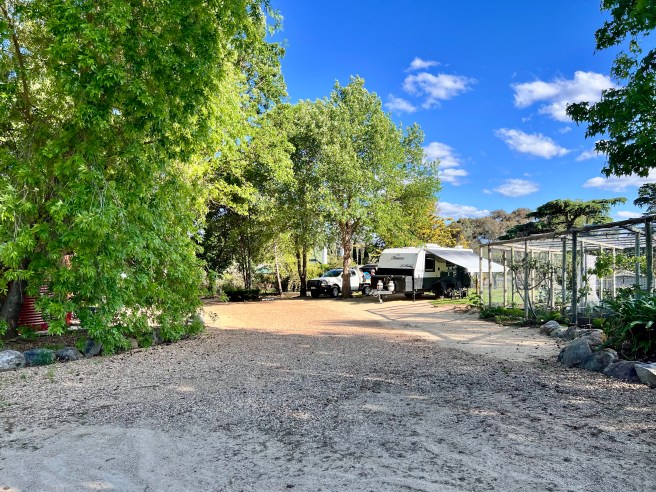
Peter and Sandy were very welcoming to their home. They have worked tirelessly into the gardens and their campground. They have 3 sites and all have power and water. Plus a one bedroom studio to rent for those not into camping.
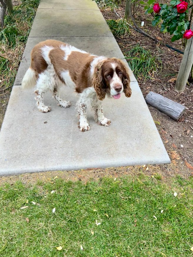
We thoroughly enjoyed walking through the extensive gardens and collecting fresh eggs and home grown veggies from the green house. Tosca their dog who will keep you entertained while on your walks.
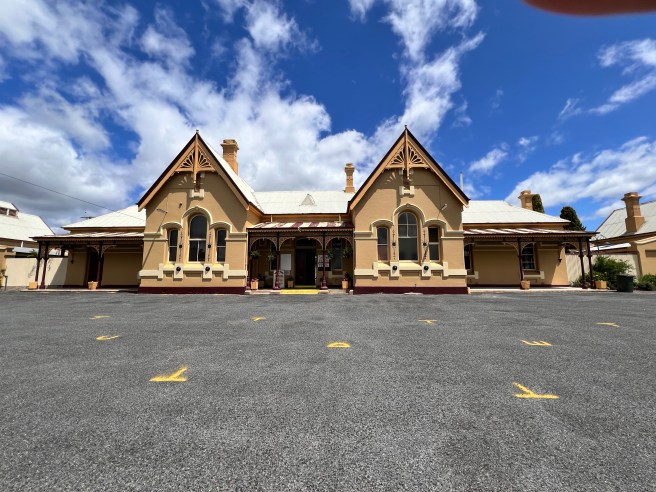
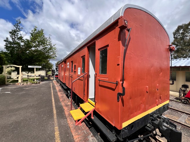
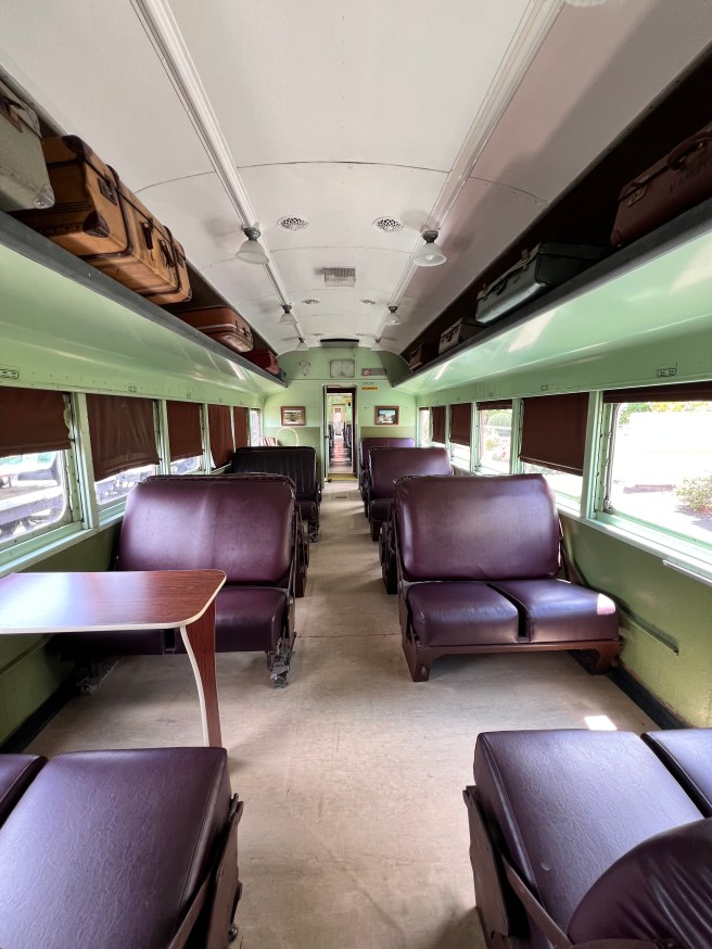
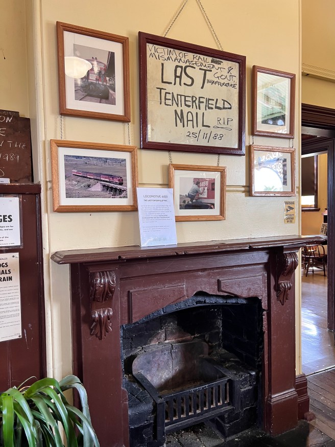
We enjoyed visiting the railway museum, the extensive gardens and park lands in Tenterfield.
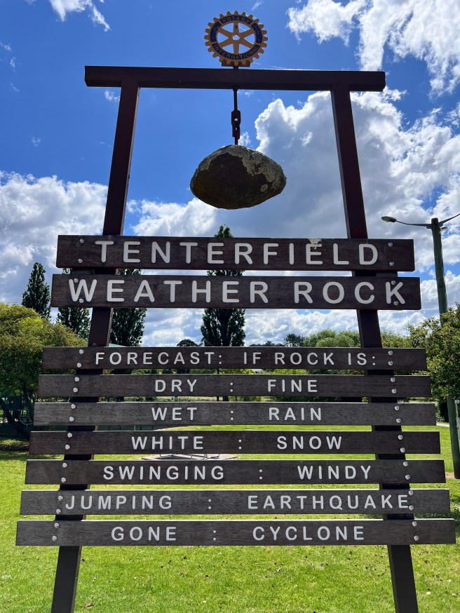
Tenterfield Railway and surrounding areas
The station opened in 1886, it is pretty much the same as it was when built. It was like walking back in time. It is now run entirely by volunteers and is a great place to spend a few hours.
There are many parks in Tenterfield and we were pleasantly surprised by the number of them and their facilities.
New England Highway
Travelling this section from Tenterfield to Armidale was a walk in the park compared to crossing the Richmond Range. Still, it was by no means less challenging. I’m providing these altitudes from my app “Memory Maps.” This is for people who are towing big rigs. It is also for vehicles that are not be up for the challenge. I will add, our set up was fine and we had no problems whatsoever.
Bolivia Hill – 3352ft
Deepwater 3183ft
14km out of Glenn Innes 3656ft
Glenn Innes 3498ft
Ben Lomond Hill 4655ft
Guyra 4400ft
Our HipCamp in Armidale was at 3435ft
HipCamp “Bramwell” at Armidale
Duration: 1 night
Location: 5km out of Armidale – Castledoyle Road
Distance: About 190km from Tenterfield
Cost: $36.27 unpowered and no facilities
Visited: October 2024
Facilities: Nothing
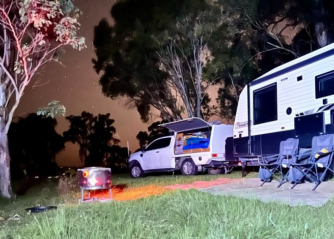
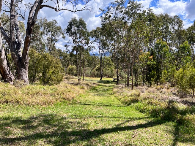
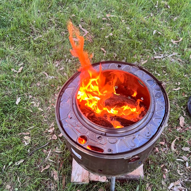
Vicki and Tim were very welcoming. Their campground “Bramwell” East View is a very large area, just note there is deceptive incline. With only 2 sites and well separated from each other you get a great sense of serenity. You can see the homestead from the campsite but is not intrusive at all. They offer fire pits and firewood and a millions of stars. You can find them on the HipCamp app and pay within the app.
Tamworth Paceway (old Showgrounds)
Duration: 1 night
Location: Gate 2, Showground Rd Tamworth
Distance:
Cost: $25/night unpowered with facilities
Visited: October 2024
Facilities: Power, drinking water, showers, toilets, rubbish bins, dump point
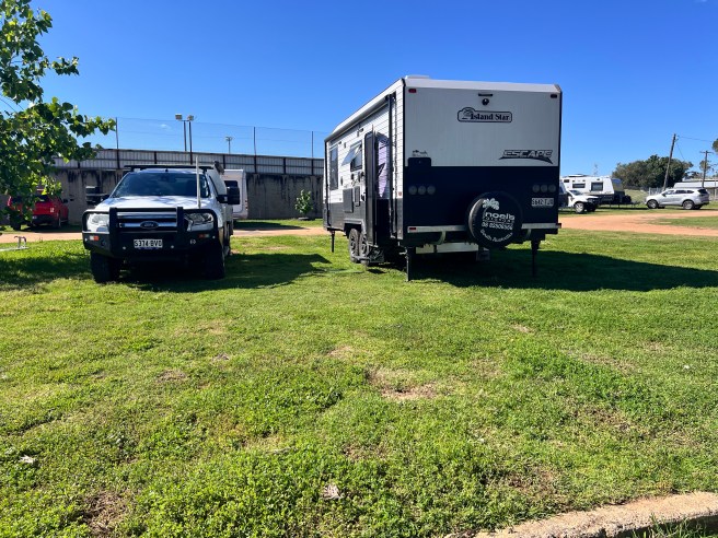
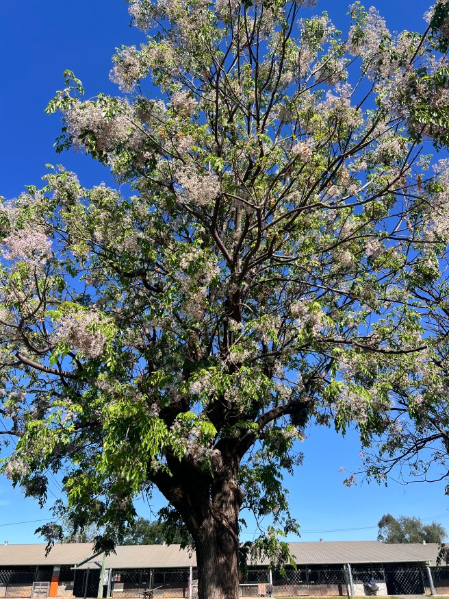
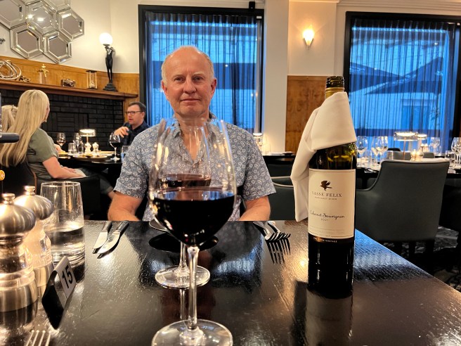
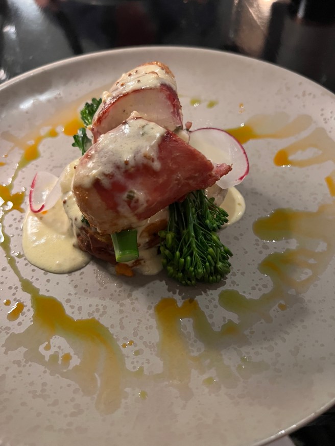
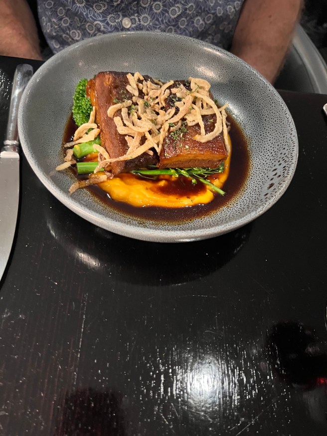
Today was Chris’s birthday and what a lovely town to spend it in. The Showgrounds provided everything we needed and we enjoyed walking around the town. We chose to celebrate his birthday with a dinner at the DECO Wine Bar and Restaurant. We were not disappointed in the service. The food and wine were also excellent. We highly recommend them next time you are in Tamworth.